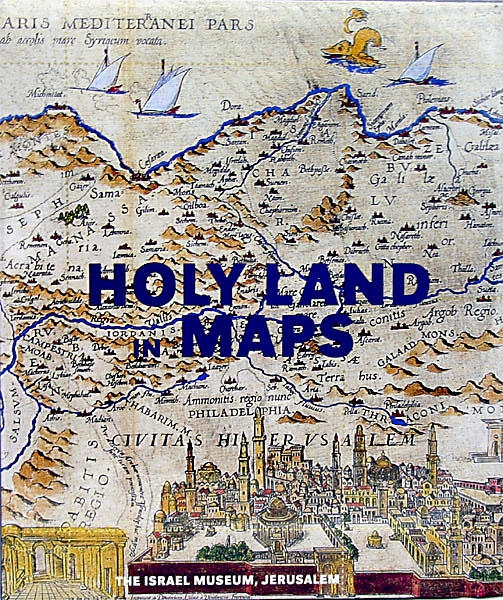
This volume brings together for the first time a historical panorama of the maps of the Holy Land: from a 6th-century mosaic from Jordan; through early Hebrew, Christian, and Islamic maps; to maps of the recent past. We see the 13th-century Hereford World Map, with Jerusalem at its center, and the 14th-century Catalan Atlas, drawn on vellum. Anonymous Czech and Italian maps of the 16th century are followed by German, Netherlandish, British, and French maps from the Age of Enlightenment. We arrive ultimately at cartographic representations of the 19th and 20th centuries, culminating in the advent of high-tech satellite imaging. These graphic representations manifest the geographical and political changes that have marked this region over the centuries, suggesting at one time physical realities, and at another the persistence of imagination in its creative shaping of the world. Evidenced throughout, Holy Land in Maps is a testament to the painstaking craftsmanship and often delicate beauty that is a hallmark of the mapmaker's discipline at its best.
Otherwise, please select your country below so we can display the correct prices, delivery times and delivery costs for your location.
product
https://www.judaicawebstore.com/-holy-land-in-maps-hardcover-p268385573 Holy Land in Maps (Hardcover)https://www.judaicawebstore.com/media/catalog/product/H/o/Holy-Land-in-Maps-Hardcover_large.jpg36.9936.99USDOutOfStock/Judaica/Jewish Books/Israeli & Jewish History/Judaica/Jewish Books/Israel Maps & Guides/Jewish Gifts from Israel/The Israel Museum/Books and Catalogues/Jewish Gifts from Israel/The Israel Museum/Holy Land Maps3588369237003724<p>Edited by Ariel Tishby</p>
<p>This volume brings together for the first time a historical panorama of the maps of the Holy Land: from a 6th-century mosaic from Jordan; through early Hebrew, Christian, and Islamic maps; to maps of the recent past. We see the 13th-century Hereford World Map, with Jerusalem at its center, and the 14th-century Catalan Atlas, drawn on vellum. Anonymous Czech and Italian maps of the 16th century are followed by German, Netherlandish, British, and French maps from the Age of Enlightenment. We arrive ultimately at cartographic representations of the 19th and 20th centuries, culminating in the advent of high-tech satellite imaging. These graphic representations manifest the geographical and political changes that have marked this region over the centuries, suggesting at one time physical realities, and at another the persistence of imagination in its creative shaping of the world. Evidenced throughout, Holy Land in Maps is a testament to the painstaking craftsmanship and often delicate beauty that is a hallmark of the mapmaker's discipline at its best.</p>
<p><strong>Hardcover, 168 pages</strong></p> <p><strong>74 color illustrations</strong></p> <p>Dimensions: 9.4" X 11" / 24 X 28 cm </p> <p>The Israel Museum, Jerusalem</p>00add-to-cartThe Israel Museum